

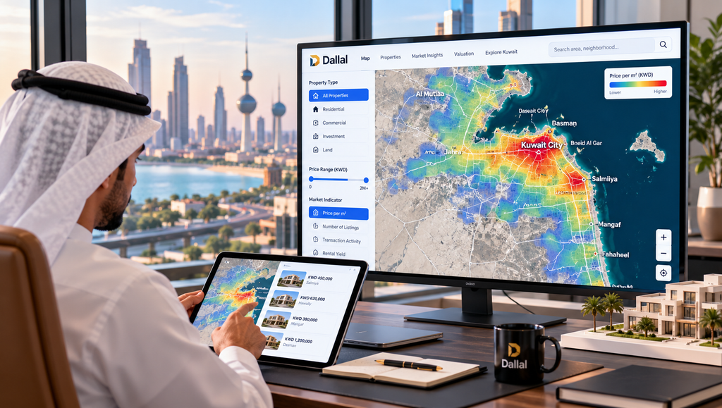
Kuwait’s property market is entering a new phase of digital transformation, as interactive mapping and location intelligence begin to change how buyers, investors and developers explore real estate.
For decades, understanding Kuwait’s property market has depended heavily on local knowledge, broker relationships and information gathered from different sources. While online property portals have made advertisements easier to access, understanding the wider market remains considerably more challenging.
Where are property values concentrated? How do neighbourhoods compare? And how can buyers or investors identify locations worth exploring before contacting an agent?
These questions highlight a growing gap between finding available properties and understanding the market behind them.
A new generation of property technology is beginning to address this challenge through interactive mapping, data visualisation and location intelligence.
From Property Listings to Market Intelligence
Traditional property portals typically begin with a search. Users select a location, property type and budget before browsing available listings.
This approach works when someone already knows what they want. But what happens when the first question is not which property to buy, but where to begin looking?
Location intelligence offers a different perspective.
By connecting property information to geography, interactive maps allow users to explore areas, examine spatial patterns and better understand the relationship between properties and their surroundings.
Rather than treating each listing as an isolated advertisement, mapping technology provides a broader geographical context.
This shift reflects a fundamental change in property technology: moving from displaying available properties towards helping users make better-informed decisions.
Dallal Brings Interactive Property Mapping to Kuwait
Kuwait-based PropTech platform Dallal has introduced an interactive property heatmap, offering a new approach to exploring the country’s real estate market.
The development is part of the company’s wider ambition to create a more transparent, accessible and data-driven property ecosystem.
Through its interactive real estate heatmap, Dallal is bringing geographical visualisation into the property research experience, making it easier to approach market information through locations rather than advertisements alone.
The concept is particularly relevant in Kuwait, where property characteristics and market conditions can differ considerably between neighbourhoods.
A visual approach can help users explore these differences and identify areas that deserve closer examination.
For buyers unfamiliar with particular locations, it provides an additional starting point for research. For investors and property professionals, it introduces another way to examine geographical information.
The launch represents a notable step in the evolution of Kuwait’s property technology landscape.
Why Heatmaps Matter in Real Estate
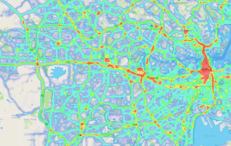
Heatmaps translate geographically distributed information into visual patterns, typically through differences in colour or intensity.
They are widely used in urban planning, transportation, retail analytics and public policy. In real estate, similar techniques can help reveal geographical relationships that may be difficult to recognise in conventional reports.
Their potential applications extend across the property industry.
Homebuyers can develop a broader understanding of neighbourhoods before narrowing their search. Investors can investigate location-based differences and identify areas for further research.
Developers can use geographical intelligence alongside planning requirements and feasibility studies when evaluating potential projects.
Real estate professionals can also use visual information to support discussions with clients and communicate market conditions more clearly.
However, a heatmap is only as useful as the information behind it.
Reliable visualisation requires accurate data, clearly defined indicators and appropriate interpretation. Colours alone cannot determine whether a property represents good value or a sound investment.
The Challenge of Property Data in Kuwait
Developing meaningful property intelligence requires more than placing information on a map.
Kuwait’s real estate market includes different property classifications, land characteristics, development restrictions and neighbourhood-specific conditions.
Property information may come from official records, completed transactions, advertisements and professional research.
These sources do not necessarily measure the same thing.
An advertised asking price is different from an agreed transaction price. A transaction price is not automatically a reliable valuation for a neighbouring property. Land values and building values may also behave differently.
Combining these datasets requires careful classification, validation and analysis.
Dallal Real Estate has been developing a wider property data infrastructure that brings together official records, field research and verified marketplace information.
Its broader technology initiatives also include automated property valuation capabilities, reflecting the growing role of data analysis in real estate decision-making.
The challenge is not simply collecting more information, but organising it in ways that are accurate, understandable and genuinely useful.
Combining Technology With Human Expertise

Artificial intelligence and data analytics are increasingly influencing how property markets operate.
Automated systems can process information, identify statistical relationships and support property research at a scale that would be difficult through manual methods alone.
Yet property decisions remain complex.
Building condition, legal considerations, location-specific characteristics and individual requirements cannot always be fully captured through automated analysis.
Human expertise therefore remains essential.
The most promising direction is a combination of technology and professional judgement, where digital tools improve access to information while experienced specialists provide context and interpretation.
Interactive mapping fits naturally into this approach.
It can make information easier to explore without suggesting that every property decision can be reduced to a single number or visual indicator.
The Future of Property Intelligence in Kuwait
The significance of interactive property mapping extends beyond the map itself.
Over time, connected geographical information could support more sophisticated applications, including valuation research, investment analysis, development feasibility and market monitoring.
For Kuwait, these capabilities could help make property information more accessible to consumers, professionals and institutions.
They could also encourage more consistent market research by bringing different types of information together through a common geographical interface.
The introduction of Dallal’s heatmap reflects this broader evolution from digital property advertising towards integrated property intelligence.
Its long-term impact will depend on data quality, the usefulness of its visualisations and how effectively the platform responds to real market needs.
The wider opportunity, however, is significant.
As Kuwait’s property technology sector develops, the platforms that create the greatest value may not simply be those offering the largest number of listings.
They may be the ones that help people understand the market before making their next move.
The future of property search is not just about finding what is available. It is about understanding where to look, what the information means and how to make a better decision.
